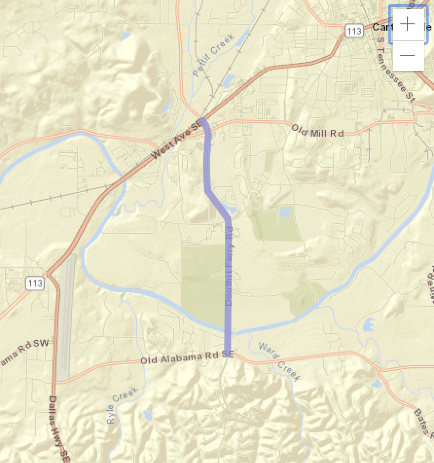
City Street (CS) 1054/Douthit Ferry Road: Road Widening, Operational and Safety Improvements
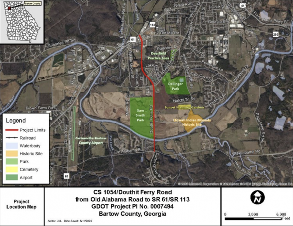
In order to produce a safe and efficient route to the Cartersville business district and improve traffic conditions along the corridor, the City of Cartersville in conjunction with GDOT proposes to widen CS 1054/Douthit Ferry Road from Old Alabama Road to SR 61/SR 113 for approximately 2.5 miles. The proposed project would begin at the intersection with Old Alabama Road where the roadway would be widened from two to four lanes, where the inside lanes would be 11 feet wide and the outside lanes would be 12 feet wide and separated by a 20-foot raised median with shoulders, curb and gutter, and sidewalks on each side. The raised median would be reduced to 8 feet in width at Riverside Court and continue to Indian Mounds Road and then transition back to a 20-foot raised median to Pine Grove Road/Walnut Grove Road.
The Pine Grove Road/Walnut Grove Road intersection would be redesigned from a four-way stop to a dual lane roundabout with an outside and inside island. The drive at Cartersville Middle School would be redesigned to allow separation of the bus traffic with the car traffic. From the Pine Grove Road/Walnut Grove Road roundabout, the section would transition back to a 20-foot raised median with two lanes in each direction with curb and gutter and sidewalks on each side and continue south of the intersection with Old Mill Road. South of Old Mill Road the section would transition to a five-lane section with two lanes in each direction, a 14-foot-wide flush median with urban shoulders, curb and gutter and sidewalks on each side to the intersection of SR 61/SR 113 where the project ends.
The proposed improvements would also widen the bridge over the Etowah River, add a multilane roundabout at the intersection of Walnut Grove Road/Pine Grove Road, and provide four-foot bicycle lanes on both sides of the road, except for sections of road between the Etowah River Bridge and Indian Mound Road, between the proposed roundabout at Walnut Grove/Pine Grove Road and Carrington Drive/Grove Park Circle, and between Old Mill Road to SR 61/SR 113. In areas where no bicycle lanes would be provided, there would be “Share the Road” conditions.
In order to construct the proposed project, a portion of Sam Smith Park would be acquired, and the Etowah Riverwalk Trail would be temporarily closed for up to 18 months in the area of the Walnut Grove/Pine Grove Road - Douthit Ferry Road intersection. Users of the trail would still be permitted on portions of the trail not closed during construction. Sam Smith Park would remain open during construction and activities in the park, including community events, would not be affected.
Benefits of Project Implementation
- Improve traffic congestion and queuing along CS 1054/Douthit Ferry Road.
- Improve connection to US 411 and Old Alabama Road via Burnt Hickory Road to the north.
- Reduce potential for crashes along the corridor with the construction of center medians.
- Provide a new bridge across the Etowah River.
- Add sidewalks for walkability and pedestrian safety, as well as improve mobility and connectivity for cyclists.